
The SW1000 Smart Water Conservancy Integrated Management System, independently developed by KONWER, is a comprehensive security platform integrating user management, video surveillance, 2D and 3D electronic maps, human, vehicle, and vessel target recognition, and hydrological environment perception and early warning. It is widely used for monitoring and management of rivers, lakes, reservoirs, water resources, and water conservancy projects, as well as monitoring urban hydrology, flash floods, and river basin hydrological information.
Supports central cluster deployment and multi-location joint use; supports multi-level joint prevention and control at the provincial, municipal, and county levels; supports collaborative, exclusive, and preemptive scheduling strategies for photoelectric devices at all levels;
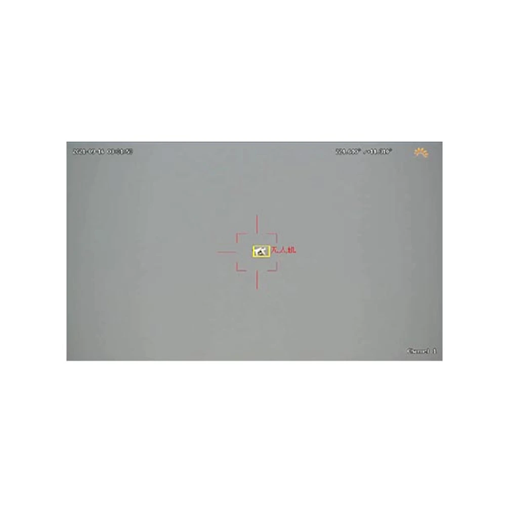
Supports unmanned operation in alert zone mode and unmanned operation in automatic photoelectric scanning mode;
Supports access, display, and over-limit alarms for various water conservancy-related data such as water quality, water level, flow, and rainfall;
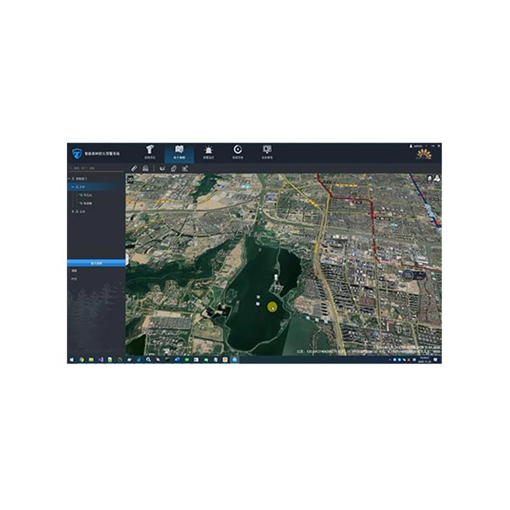
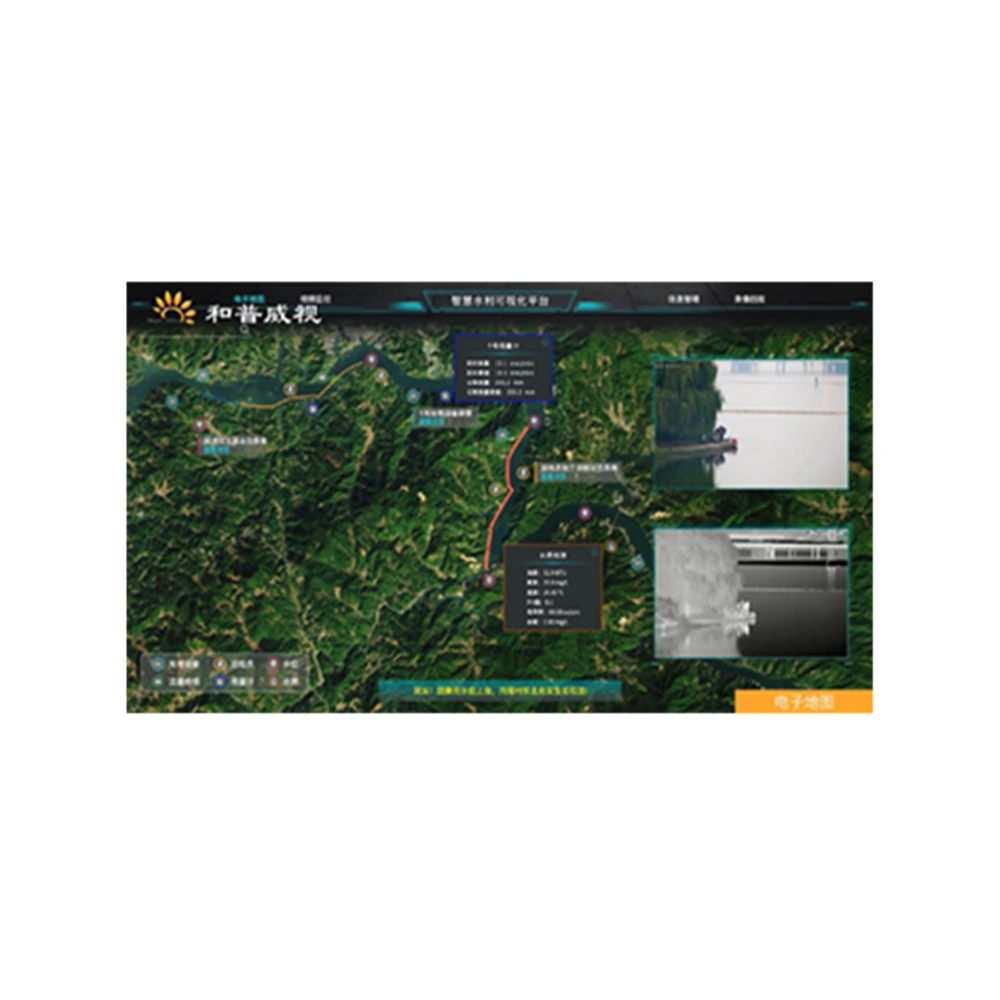
Supports offline maps; supports comprehensive situational analysis based on maps using photoelectric video, water quality and water level, flow and rainfall data, and river chief inspection data. Display capabilities include:
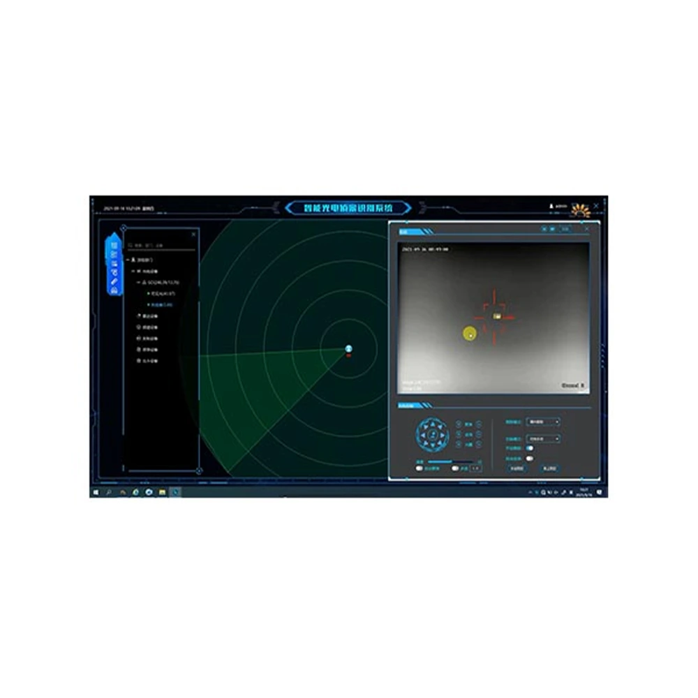
Supports tracking of target intrusion in key areas, identification and tracking of personnel and vehicles, and photoelectric relay tracking;
Supports detection of floating objects on the water surface, fishing, and illegal sand mining; supports detection of personnel, vehicles, and swimmers within controlled areas;
Supports statistical analysis of the status of photoelectric equipment and various sensors; supports statistical analysis of various alarm data such as photoelectric, sensor, and manual inspection data; supports real-time visualization of statistical analysis of various data on a large screen.
Widely used for monitoring and management of rivers, lakes, reservoirs, water resources, and water conservancy projects; monitoring of urban hydrology, flash floods, and river hydrological information.
| Model Name | SW1000 Smart Water Conservancy Integrated Management System |
| Applicable equipment | Optical Pan Tilt Zoom, optical pan-tilt head, 4G water level dome camera, general security camera |
| System performance | No fewer than 1000 devices connected, no fewer than 200 devices reporting alarms simultaneously; no fewer than 100 users online simultaneously. |
| Water Conservancy Monitoring | 1. Water Area and Shoreline Management: Supports information management for rivers, lakes, reservoirs, and other water bodies; supports information management for sensitive water areas such as confluences, water intakes, sewage outlets, mining areas, and protected areas; supports information management for riverside locations such as riverside towns and villages; supports the marking and management of various prohibited areas such as no-swimming river sections, no-mining areas, and no-fishing areas. 2. Hydrological Monitoring: Supports data access from various hydrological sensors, including those for water level, water quality, flow velocity, and rainfall. 3. Remote Fixed-Point Patrol: Supports remote, timed, and fixed-point automatic patrols of key river sections, sensitive water areas, and prohibited areas; hazard identification; video recording; and alarm reporting. 4. Mobile Patrol Dispatch: Supports mobile patrols, route planning guidance, task scheduling, patrol check-in, hazard reporting, and abnormal behavior detection of patrol personnel. |
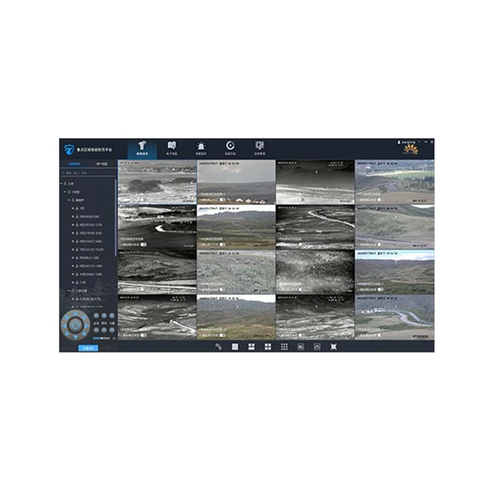
| Video surveillance | 1. Video Preview: Supports single device connection, batch connection, and drag-and-drop connection. 2. PTZ Control: Supports eight-way PTZ control; supports zoom, focus, and aperture lens control. 3. Preset Positions & Patrol: Supports hardware preset positions, software preset positions, and preset position monitoring; supports sector scan, line scan, hardware preset position patrol, and software preset position patrol detection; supports day/night mode inspection and scheduled task inspection. |
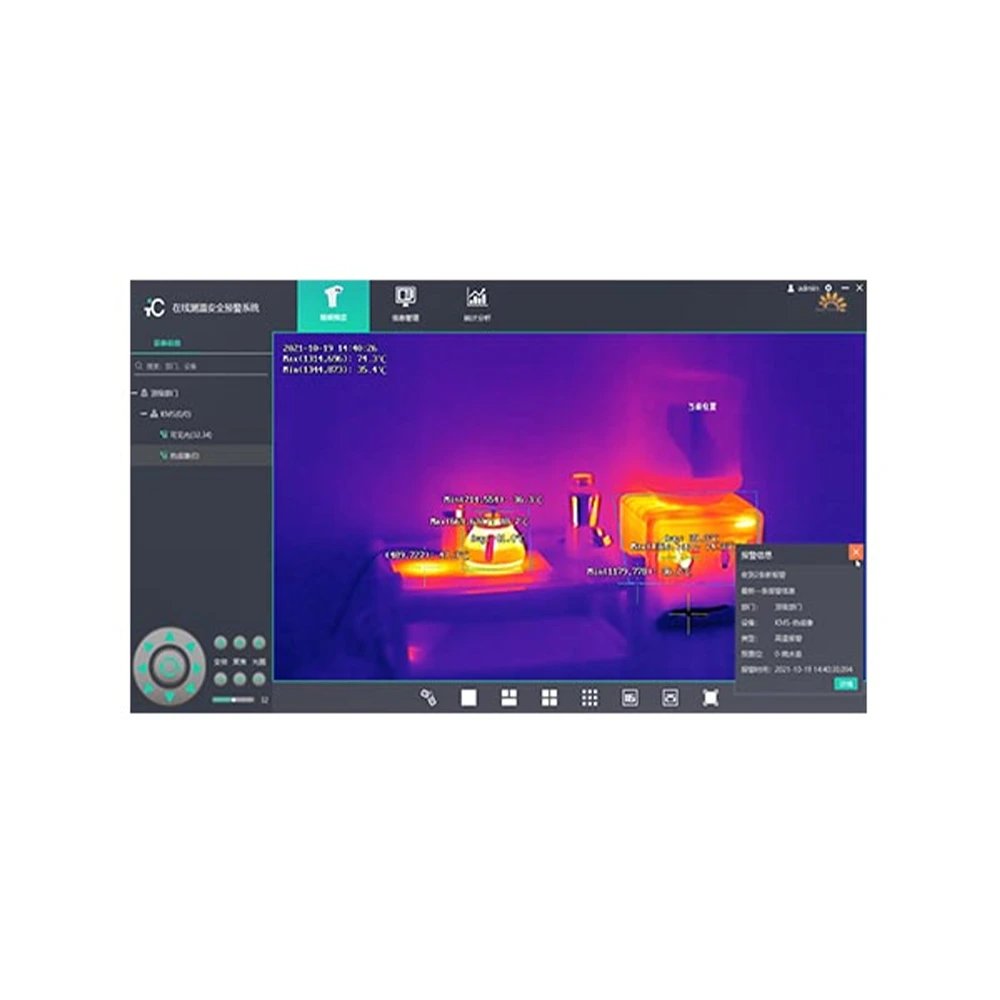
| Intelligent algorithms | 1. Target Recognition: Supports target detection for people, vehicles, ships, and drones (optional) using visible light and thermal imaging video. 2. Special Scene Detection: Supports detection of floating objects on water surfaces, swimming in dangerous areas, illegal fishing, and illegal sand mining. 3. Target Tracking: Supports target intrusion tracking, bounding box tracking, and recognition tracking. 4. Video Summarization (Optional): Supports video summary extraction from alarm recordings. 5. Panoramic Stitching: Supports visible light panoramic stitching and thermal imaging panoramic stitching. 6. Area Intrusion Alarm: Supports intrusion alarms and boundary crossing alarms. |
| Electronic map | 1. 2D Map: Supports offline high-definition 2D maps; supports switching between electronic maps, Google satellite imagery, Tianditu (a Chinese online map platform), and vector maps; supports distance measurement, area measurement, and drawing of point, line, and polygon layers; supports map dragging, zooming in, and zooming out; supports scale bar and overview view. 2. 3D Map (Optional): Supports 3D rendering display of satellite maps. |
| External devices | 1. Supports gyroscope-stabilized image control 2. Supports data input from electronic compasses, laser rangefinders, etc. 3. Supports data input from various sensors such as water quality, water level, and rainfall. 4. Supports connection to network broadcasting equipment. 5. The central terminal supports connection to SMS modems, audible and visual alarms, and SMS platforms. |
| Interface Protocol | 1. Access Protocols: Supports RTSP, GB28181 (optional), and ONVIF video protocols; supports access protocols from mainstream manufacturers such as Hikvision, Dahua, and Uniview; supports access to the Huawei video platform. 2. Secondary Development: Supports SDK secondary development; supports RESTful API platform integration; supports providing video streams in formats such as RTSP, GB28181 (optional), and WebRTC (optional). 3. Supports access to radar protocols from mainstream domestic manufacturers. 4. Supports integration with domestic operating systems. |
1. Understand Your Product Requirements
2. Evaluate Industry Experience
3. Review Successful Case Studies
4. Consider After-Sales Service
PTZ devices are typically equipped with various devices, including optical lenses (such as infrared cameras), acoustic sensors, radar, antennas, lighting searchlights, etc.
We are the direct factory, of course,it's competitive, quality/price and services are guaranteed.
Yes. Welcome at any time.
Copyright © 2026 by KONWER Technology Co., Ltd. All Rights Reserved